However, there are several drawbacks, for example,
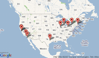
512x512 is the largest image size allowed and geocoding is not integrated. Even though, it is better than nothing.The following shows the API example:
Top 10 "Mathematica" cites from Google Trends.

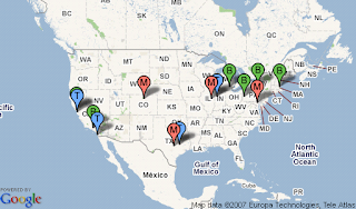
For fun, top 10 Mathematica cities vs top 10 Matlab cities
Red "M"--> Mathematica City, Blue "T" --> Matlab City, Green "B" --> City with both Mathematica and Matlab.

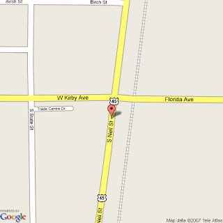
Update: static maps seems use the old data
Noticed the problem with "Trade Center Dr",
Check this place on Google Map.

No comments:
Post a Comment